HUMANAV SOLUTIONS Spend less in logistics & more in your aid programmes
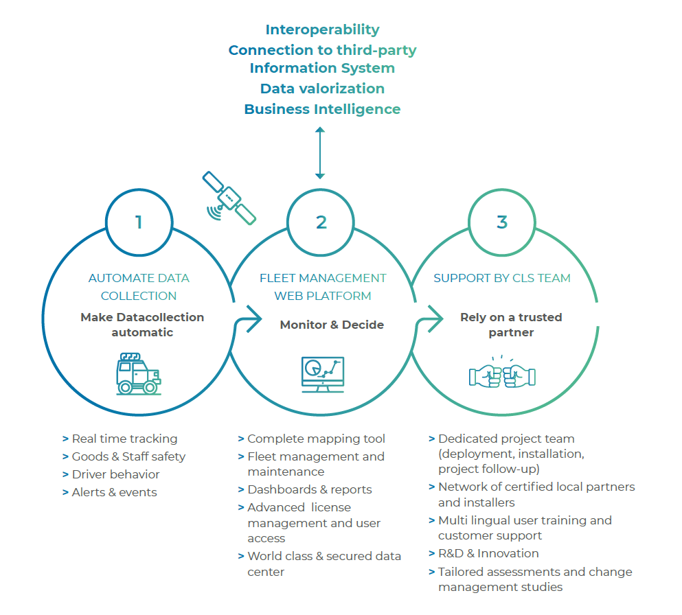
HUMANAV is first and foremost an ongoing, long-term partnership aimed at understanding and overcoming everyday challenges in the field. Launched in 2006, this dedicated web platform tracks and manages humanitarian fleets, thereby enhancing the safety, security, and effectiveness of aid agencies everywhere.
Regularly upgraded thanks to in-house innovations and customer feedback, HUMANAV provides UN agencies with the very latest technological advances so as to best serve their operations and optimize their fleet performance.
Enabling agencies to spend less in logistics and more in their aid programmes is one of our drivers and has built our reputation as a reliable, long-term and efficient partner for ensuring project success.